First stop on my trip to Europe is Amsterdam. By coincidence, the Rijksmuseum has just been announced as the European Museum of the Year by the European museum forum. The museum reopened in 2013 after an extensive, decade-long refurbishment.
I’d visited the pre-refurbishment Rijksmuseum in 2000, but to be honest, my memories of the place are vague. In any case, my main focus for this visit was the lobby and overall navigation rather than the exhibitions (I’ll review the museum app in a separate post).
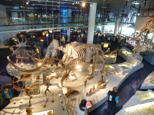
The central lobby, which has been created by enclosing what was probably a central courtyard space bounded by the museum building, is HUGE. This picture only captures about a quarter of it:

The main lobby is below street level, and is clearly designed to manage large numbers of visitors (apparently queues snaking out and down the street are to be expected during peak periods). But things were relatively quiet at 10am on a Monday morning (this soon changed when the school groups started showing up). Although there is reasonably good seating provision in the galleries themselves, it was pretty limited in this lobby area. It’s obviously designed for throughput, not lingering.

Entrance to the museum proper is at the opposite end of the lobby from the shop/cafe, through some rather imposing outscale rectangular gateways.

The first decision point is just past the ticket checkpoint, and it takes a while to figure out the layout of the historic building – particularly when it came to finding things on Level 3 (Level 3 is actually two completely separate area that don’t connect with one another, and not all stairwells lead to that level).
I’d bought a guidebook at the shop before entering (with 100+ pages it’s very comprehensive and at 10 euros was a bargain), with most of the highlights and recommended tours directing you to Level 2 (you enter at Level 0). This means heading up the stairs you can see to the far right of the photo above.
When you get to Level 2 the first point of arrival is a large hall, and it took me a while to get my bearings. It didn’t help that the map in the guidebook didn’t include gallery numbers, which was the main way that galleries were signposted in situ.

I can see why they went down that route – gallery numbers everywhere would have unnecessarily cluttered the map and in general the hand-drawn representations of key features in each gallery worked well. But until I worked out which part of the building I was in, I couldn’t use this to navigate. I think the way the map is used in the app works a lot better – but more on this in the next post.